ESA's Biomass Satellite Takes Flight: Peering Through the Canopy to Map Earth's Hidden Carbon
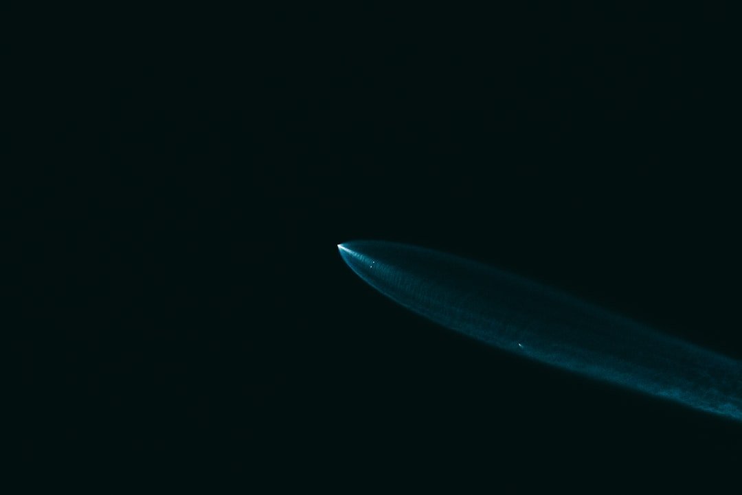
In the steamy predawn haze of French Guiana, a Vega-C rocket pierced the sky on April 29, 2025, carrying a groundbreaking payload: the European Space Agency's Biomass satellite. As the engines roared to life at 6:15 a.m. local time, this wasn't just another launch—it was a bold leap toward unraveling one of climate science's thorniest puzzles: how much carbon is locked away in the world's forests, and how quickly is it slipping away?
A Flawless Liftoff and First Signals
The rocket, operated by Arianespace under the VV26 mission, vaulted from Europe's Spaceport in Kourou at 11:15 a.m. CEST. Less than an hour later, controllers at the European Space Operations Centre (ESOC) in Darmstadt, Germany, cheered as the satellite separated cleanly and beamed back its first telemetry signals via the Troll ground station in Antarctica. No glitches marred the ascent; telemetry confirmed the spacecraft was healthy and on track.
This marked Vega-C's triumphant return after a 2022 setback, underscoring Europe's drive for independent space access. But the real star was Biomass itself, now embarking on its Launch and Early Orbit Phase (LEOP). Over the next few days, engineers would meticulously deploy its 12-meter-wide mesh reflector antenna, perched on a 7.5-meter boom—a delicate origami in space that promises to unlock unprecedented insights.
Piercing the Veil: The Power of P-Band Radar
At the heart of Biomass beats the world's first spaceborne P-band synthetic aperture radar, a technological marvel that operates at a low frequency with a wavelength of about 70 centimeters. Unlike earlier L-band or C-band systems, this radar slices through dense forest canopies like a hot knife through fog, measuring above-ground biomass and tree heights with pinpoint accuracy.
Imagine peering into the shadowy depths of the Amazon or Congo Basin from 693 kilometers up, quantifying carbon stocks that ground teams could only guess at before. Forests, after all, hoard about 70% of land-based ecosystem carbon, especially in tropical hot spots. Biomass builds on prototypes like ESA's GlobBiomass but elevates the game with orbital P-band prowess, surpassing the limitations of less penetrating radars.
Supporting this wizardry are open-source tools: BioPAL for algorithms, Biomass Data Readers for handling the influx, and PolSARpro for processing polarimetric SAR data. Pre-launch, Germany's DLR even flew aircraft campaigns to fine-tune these systems, ensuring the data hits the mark.
Mission on a Mission: Tracking Forests in a Warming World
Biomass joins ESA's Earth Explorer fleet as its 10th installment, selected in 2013 and greenlit in 2015. For at least five years, it will orbit Earth, delivering consistent global datasets to monitor deforestation, degradation, and the carbon cycle's precarious balance. Forests are nature's carbon vaults, but threats like wildfires, drought, and logging crack them open, releasing greenhouse gases that fuel climate chaos.
"With Biomass, we are poised to gain vital new data on how much carbon is stored in the world’s forests," said Simonetta Cheli, ESA's director of Earth Observation Programmes, her words echoing the mission's urgency. This isn't abstract science—it's ammunition for real-world action, bolstering UN programs like REDD+ for forest credits and aligning with the Paris Agreement's goals. Think enhanced climate models, sharper IPCC reports, and better tracking of tropical forest loss.
Global Teamwork and Broader Horizons
Collaboration fueled this endeavor. Germany's DLR chipped in over 20% of the mission, supplying the radar instrument, algorithms, and simulators. Airbus Defence and Space led as prime contractor, weaving together the satellite's intricate design.
The launch resonates beyond Europe. International partners, including UN-SPIDER, hailed it as a milestone. It dovetails with NASA's upcoming NISAR mission and commercial players like Capella Space, amplifying the Earth observation boom. Data will flow openly, much like ESA's Copernicus program, with tools like ESOV for visualizing radar swaths empowering scientists worldwide.
Expect full operations by 2026, after commissioning, with a focus on high-carbon tropics. This supports the EU Green Deal and gears up for COP30, turning satellite eyes into tools for planetary stewardship.
A Satisfying Orbit: From Launchpad to Legacy
As Biomass settles into its groove, it addresses a glaring gap: quantifying forest carbon beyond scattered ground plots. No more guesswork in the face of escalating climate threats. The satellite's deployable boom and antenna, now unfolding under watchful ESOC eyes, symbolize a broader unfolding—a new era of space-based environmental intelligence.
In a world where every ton of carbon counts, Biomass isn't just mapping trees; it's charting a path toward a more resilient future. As the Vega-C's contrail fades, the real journey begins: one that could redefine how we safeguard our planet's green lungs.


